
Finding Timberwood Park Addresses
A street search is a land-record workflow. Start with a complete address in the Bexar Appraisal District search, then copy the parcel's property ID, geographic ID, situs line, and legal description. The legal description may give a subdivision, unit, lot, block, or abstract. It travels better than a street name when a road was renamed, a plat changed, or a postal city line differs from the community label.
BCAD accepts owner name, street number, street name, property ID, geographic ID, and Doing Business As. Its street-entry tip is to leave out directional prefixes and street-type suffixes, then try fewer letters if the first search fails. A found record shows appraisal information and a parcel relationship. It cannot establish who occupies a home. Use that boundary from the first step.
- Enter the street number and simplified street name in BCAD.
- Save the property ID, geographic ID, and legal description.
- Compare the parcel in Bexar GIS and note roads, unit, lot, block, and nearby plat lines.
- Search official land records with the legal description, subdivision, or recorded parties.
- For a historical road trail, pair a dated directory or census record with the same geography.
Timberwood Park Street Directory Fields
The street directory is strongest when its fields stay in their proper roles. The appraisal search can identify a parcel. The deed index can identify a recorded instrument and its parties. A GIS map can place a parcel relative to roads and other parcels. A historical directory can print an address in a given year. None of those records automatically identifies a current household. Keeping those distinctions prevents a street inquiry from becoming an unsupported claim about a neighbor.
| Address-keyed source | What it provides | How to access it |
|---|---|---|
| BCAD property search | Parcel IDs, appraisal context, legal description | Street, owner, or property-ID search |
| Bexar parcel GIS | Parcel geometry, map context, tax-map characteristics | Map identify, query, or export tools |
| Official land records | Recorded parties, instruments, plats, liens, releases | PublicSearch or Clerk research access |
| POA unit documents | Unit, lot, block, and covenant terminology | Timberwood Park documents page |
| Historic directories | Dated printed street or household evidence | San Antonio and Bexar repositories |
- Situs address
- The property location shown in a record, which can differ from a mailing line.
- Plat
- A recorded map that lays out lots, blocks, roads, and other subdivision features.
- Criss-cross directory
- A historical directory arranged by street and house number.
- Replat
- A later recorded subdivision map that can alter lot or block configuration.
Bexar GIS for Timberwood Park Streets
The Bexar parcel GIS layer provides a map-oriented way to inspect a street. The service documents parcel identify, query, export, geometry, and spatial-filter operations, with output formats that include JSON and GeoJSON. Its descriptions identify location, structures, parcel owner, assessed value, and tax-map characteristics from BCAD data. Use it to understand land shape and road context, then verify any current attribute in BCAD and recorded deeds.
GIS is not a legal survey and its metadata notes annual updates alongside a stale displayed update note. It is helpful for comparing a road with subdivision boundaries, not for publishing a roster of people. The Bexar community dashboard adds address-based service, representative, school, public-safety, and election context. Its boundaries are approximate, so it should not settle a city-limit or POA question.
View the official parcel layer before using map data in the Timberwood Park street directory.
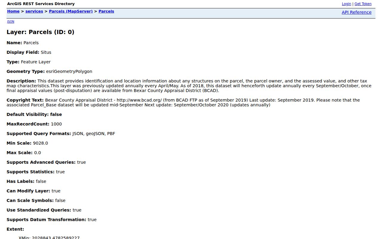
The GIS interface is most useful as a visual check between the address record, parcel shape, and the legal description.
Timberwood Park Street Record Chain
Use Bexar PublicSearch after the parcel step. The Land Records search supports a department choice, term, recorded-date range, grantor, grantee, subdivision, document type, and document number. Its advanced choices include index-only or index-plus-OCR/full-text search. A good address chain starts with the current instrument, then follows the prior acquisition through the parties and legal description. Record the instrument number, execution and recording dates, deed type, and the exact land text before moving backward.
Do not replace the legal description with a casual street match. Rural tract names, street changes, repeated surnames, replatting, and San Antonio mailing lines can all make a street-only query misleading. Online official documents can be viewed free and uncertified copies printed according to Bexar County guidance. The research did not find an official online-index starting year, so older records may require the County Clerk, TSLAC microfilm, or archival help.
The County land-records page provides recording and research information. It lists $25 for a first recorded page and $4 for each added page when filing, a charge that should not be confused with research access or a copy price.
Timberwood Park Street Lot Records
The Timberwood Park documents page uses unit, lot, and block terminology in its covenant material. That vocabulary can help match a parcel description to a plat or deed. It does not create a countywide resident directory. The documents also caution that BCAD labels and nearby neighborhoods are not automatically part of the original private development. Check the governing unit document before applying a POA name to an address.
The distinction is especially important near Canyon Golf Road and Borgfeld Road, where newer neighborhoods may be nearby without falling under the original development's documents. Treat the Timberwood Park CDP, the POA or private development, and a BCAD neighborhood label as three different layers. A parcel's recorded legal description and official boundary tools are stronger evidence than marketing language.
See the unit and covenant documents for the exact terminology used in a particular Timberwood Park area.
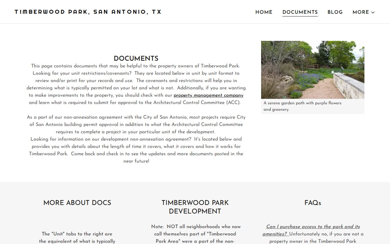
The document collection illustrates why a unit, lot, and block should be transcribed exactly before comparing it with the County Clerk index.
Postal Lines on Timberwood Park Streets
A Timberwood Park street address may carry San Antonio as its postal city while the parcel remains in unincorporated Bexar County. ZIP code 78260 is the main local orientation, and 78261 appears in nearby mapping, but a ZIP polygon is not a municipal boundary, a POA boundary, or a survey. Keep street address, postal city, ZIP, county, CDP, precinct, BCAD neighborhood, and service area as separate fields in a research note.
Use the address in the community dashboard and parcel tools to check service context. For postal delivery, use an address-specific USPS check. For city or county jurisdiction, use the official parcel and boundary tools. This separation helps avoid sending a street question to the wrong office or treating a city-only portal as coverage for an unincorporated address.
Historic Timberwood Park Street Clues
Historic city directories are not a modern street database for Timberwood Park. No standalone Timberwood Park directory was located. A more reliable historical method is to take the present legal description or older road clue from a deed, then search San Antonio and Bexar directory collections for the road, rural route, tract, or nearby post-office name. The Texas State Library and Archives Commission has San Antonio runs with gaps, while SAPL, SAGHS, and UT Briscoe add film, catalog, and digitized options.
Historic San Antonio material can show an address or a street page in one edition. It may omit rural residents and does not prove a later person lived at the same location. Pair it with the deed chain, a date-appropriate map, and the public census through 1950. The collection details belong on the Timberwood Park city directory page, where the historical shelf is treated in full.
Timberwood Park Street Permit Records
Address-based permits and code records can supply a place-history clue, but jurisdiction comes first. Bexar County permit requirements apply differently in unincorporated areas, and City of San Antonio ETJ review can add another route. The county's Development Services portal is the online category entry. Preserve a permit number, site-plan reference, and date rather than treating a project record as proof of who lived at an address.
The City of San Antonio code complaint tool is city-specific. It may search house, street, apartment, complaint number, category, and date, but it should not be assigned to a Timberwood Park parcel without a boundary check. Bexar Code Compliance has a separate path for certain visible-from-right-of-way issues in unincorporated areas.
Note: A permit applicant, owner, and person occupying an address are different roles and must not be merged in a street search.
Limits of a Timberwood Park Street Directory
Street and parcel records are useful for house history, civic transparency, and understanding a tract. They cannot safely produce a list of residents along a road. Ownership can be recorded under a trust, estate, business, or prior party. Rental occupancy and private household details are not supplied by the appraisal role. GIS labels can be stale, and a historic directory may be incomplete or years out of date.
Stop and mark uncertainty when the legal description breaks, the parcel geography changes, or the only match is a name without independent location support. The Texas Address Confidentiality Program and election confidentiality procedures protect eligible people. Narrow records research is lawful; attempts to track, harass, or harm people are not.